АКЦИЯ: Сэкономьте 15% на изображениях Shutterstock - PICK10FREE


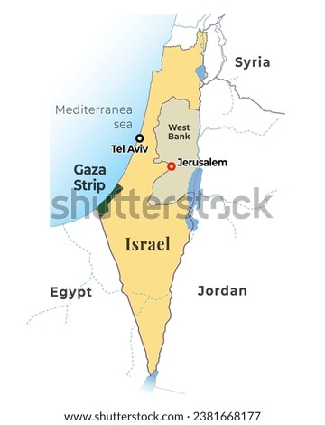
 and surrounding countries map illustration")


0 838 1

Бесплатно cкачать прозрачный png клипарт Израиль Палестина Картинки - Карта Израиля Клипарт (225x297) бесплатно. Все изображения с очищенным фоном и в формате PNG (Portable Network Graphics). Кроме того, вы можете искать другие клипарты из похожих тегов по темам Израиль, Ливан, Палестина, карта. Доступен онлайн-редактор клипартов FlyClipart перед загрузкой.
АКЦИЯ: Сэкономьте 15% на изображениях Shutterstock - PICK10FREE
✓ Бесплатно для личного пользования
✓ Атрибуция не требуется
✓ Безлимитное скачивание
Название: Израиль Палестина Картинки - Карта Израиля Клипарт
Формат: PNG
Фон: Transparent
Размер Изображения: 225x297 px
Размер файла: 9KB
Загрузки: 1


 and surrounding countries map illustration. Translation: Israel, Gaza Strip, West Bank, Tel Aviv, Jerusalem, Syria, Jordan, Egypt, Saudi Arabia etc.")


